

Roma Battleship
Discovery
SOURCE: italian navy
The Research activities of Roma battleship
The research activities of the battleship Roma conducted by the Italian Navy in the Gulf of Asinara have endured over the past 15 years. Initially simple exploration activities were carried out for the collection of hydrographic and geophysical data, mainly aimed at the update of official charts published by the Italian Hydrographic Institute. In 2007, with the aim of achieving a comprehensive and complete seabed mapping of the Gulf of Asinara, teams of the Italian Navy, Hydrographic institute and experienced divers initiated a complex campaign.
A first phase of research, carried out from 1996 to 2003, has involved the combined operation of the oceanographic ship MAGNAGHI (1996 and 2000), and MIRTO (1997). The exploration focused on small areas where probable sinking was reported in the historical archives of the Navy. Exploration highlighted, at depths of approximately 300 meters, possible anomalies which were then investigated by combined operations of Minesweeper using our PLUTO vehicles and ship ANTEO (2001-2003). The results at that time were negative.
The operational limits of the available technology and the lack of integration of the results from the previous campaigns, brought to the establishment in 2007 of an evaluation group of experienced Navy officers specialized in underwater and hydrographic operations. The team was at the time based at the Italian Special Forces base where all the documentation related to the Roma was kept for its complete historic analysis. On the basis of the overall collected data, it was possible to define a complete sea bed mapping of the Asinara Gulf area.
The following mapping campaigns carried out in 2007 saw the Navy ship “ANTEO” and the two hydrographic ships “ARETUSA” and “MAGNAGHI”, scan the seabed with modern bathymetric mapping systems. The modern systems used permitted the full seabed mapping to a maximum depth of approximately 500/600 meters, locating about 100 anomalies possibly matching the size of the two sections of the “ROMA”. These anomalies were then inspected by ROVs PLUTO PLUS and PLUTO GIGAS yet fitted as standard equipment on board of the Italian Navy minesweepers. The results were negative and evidenced the limits of the resources available at that time.
From the results of the researches conducted throughout the years the Navy become aware that given the seabed morphology, a new research should concentrate in the deeper parts of the canyon at depths beyond 600 m. Unfortunately at such great depths, the systems fitted to the Navy units did not have adequate resolution to highlight the two sunken sections of the “Roma”.
Since 2007 many others individuals, some of which with direct involvement of the Navy, have conducted intensive research in several sites where anomalies or alleged contacts were detected. All these research activities have not been able to confirm the presence of the remains of the battleship Roma.
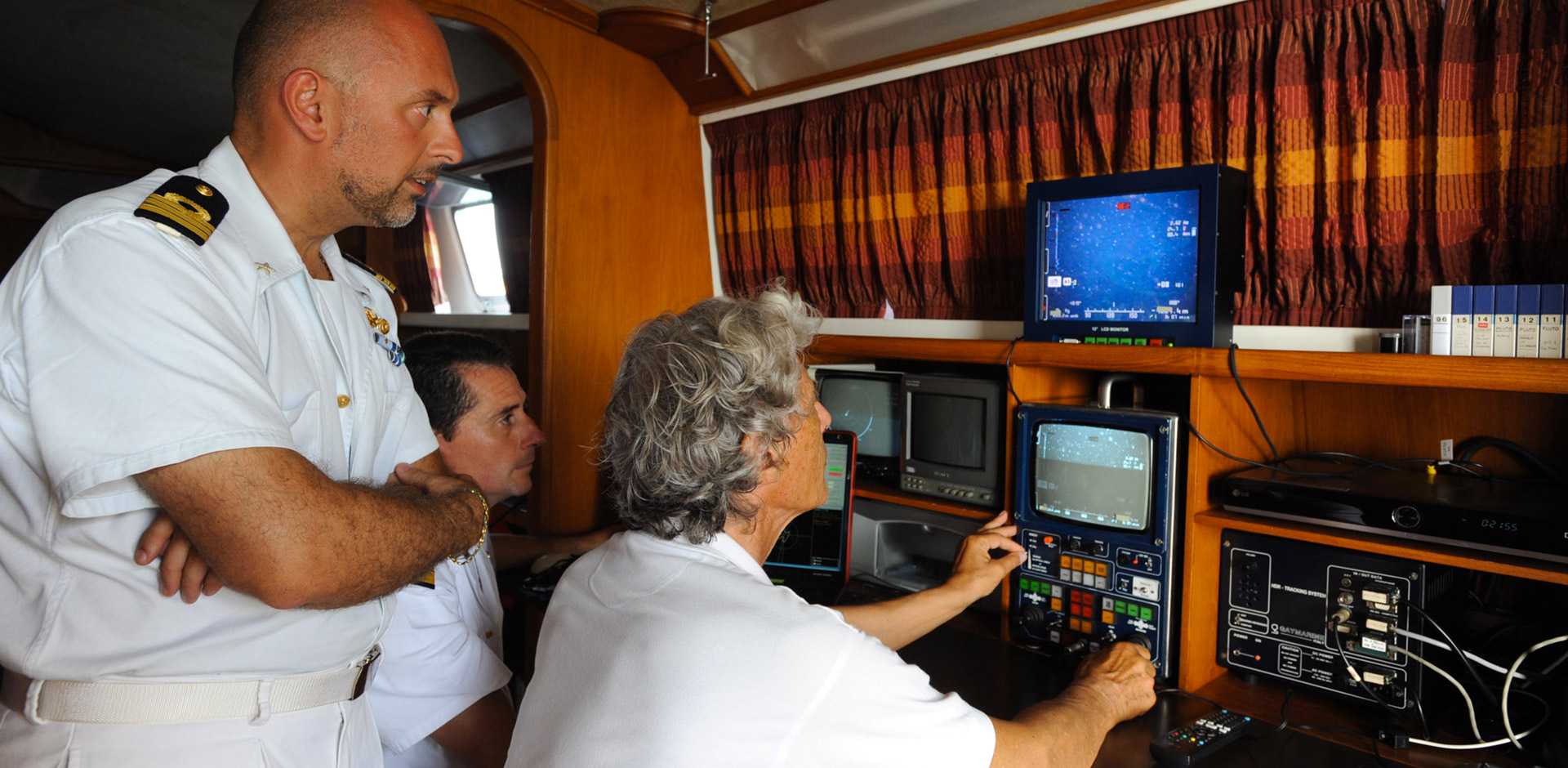
The most recent research activities carried out by Guido Gay owner and founder of the company IDROBOTICA SA, that since many years is conducting experimental campaigns to test his innovating instrumentation for seabed deep exploration, have demonstrated that the anomalies recorded by his own developed technologies did belong with no doubt to the wreck of the Battleship Roma. In particular, the latest development of Guido Gay, the PLUTO PALLA (a portable deep sea ROV) fitted on board of his catamaran DAEDALUS brought to the surface the first images of the wreck.
For the occasion, and following an invitation by Mr. Gay, 2 Officers of the Navy (a specialist in hydrography and a specialist in public information) embarked on board of the DAEDALUS and were able to witness and confirm the unequivocally consistency of the images filmed for the first time on the 17th of June 2012 by Mr. Gay and repeated in their presence on the 28th of June 2012 for subsequent certification.
VIDEO OF DISCOVERY
Source: Italian Navy.